The Enchantments

The Enchantments near Leavenworth, WA
Dom and I love adventures and we jump at any opportunity thrown our way to get out into the wilderness. We had never heard of The Enchantments until a good friend of ours bought 4 camping permits and invited us along! This was a hike we did back in 2018 but we wanted to share our experience and advice with the others.
The Enchantments are located close to a town in Washington State called Leavenworth. Have you ever driven into a town and felt like you must have entered another country or world? That is exactly how you will feel when you drive into the town of Leavenworth! I don’t want to spoil it for you so take a trip to Leavenworth to see for yourself!
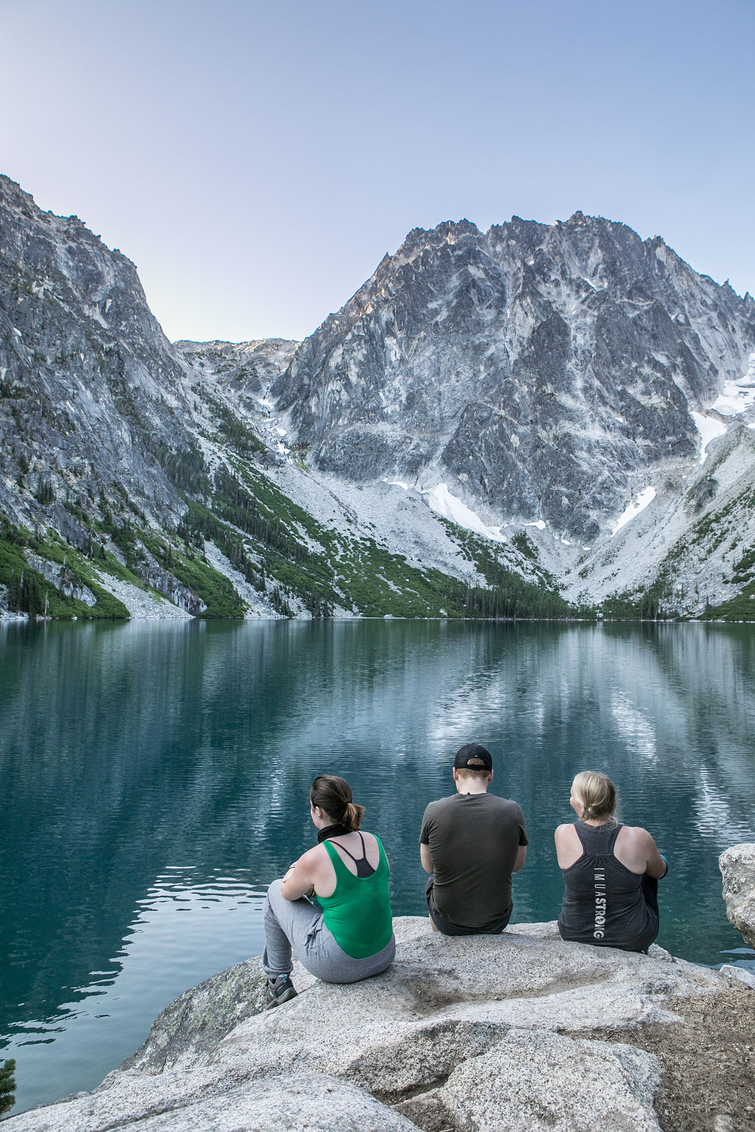
We arrived to the trailhead for the path heading toward Stuart Lake. We camped at the first major fork for the trail to The Enchantments.
If you plan to go to The Enchantments here are some things you should know:
Permits are required and the areas are split up into different zones:
Core Enchantment Zone.
Snow Lake Zone.
Colchuck Lake Zone.
Stuart Lake Zone.
Eightmile/Caroline Lake Zone.
Get permits for camping in the Core Enchantment Zone or Snow Lake Zone.
If you get permits for any other zones expect to be doing long hikes into The Enchantments and back out or the long grueling hike up Aasgard Pass.
There are two entrances toThe Enchantments Basin:
1). The Snow Lake trailhead is off Icicle Creek Road at a large parking lot next to the creek. The trail climbs 6.5 miles (10.5 km) to Snow Lake gaining 4,100 feet (1,200 m). From Snow lake the trail ascends over sloping granite rock to the Lower Enchantments. The entire hike is 9 miles (14 km) one-way, with 6,000 feet (1,800 m) of elevation gain to an end elevation of 7,800 feet (2,400 m).
2). The alternate route is from the Stuart Lake trailhead a couple of miles up Eightmile road off Icicle Creek Road. The trail up to Colchuck Lake is 4.75 miles (7.64 km) long and gains 2,100 feet (640 m); another 1.75 miles (2.82 km) brings hikers to the south end of the lake and Aasgard Pass, which climbs 2,200 feet (670 m) in 0.8 miles (1.3 km) (STEEP!)
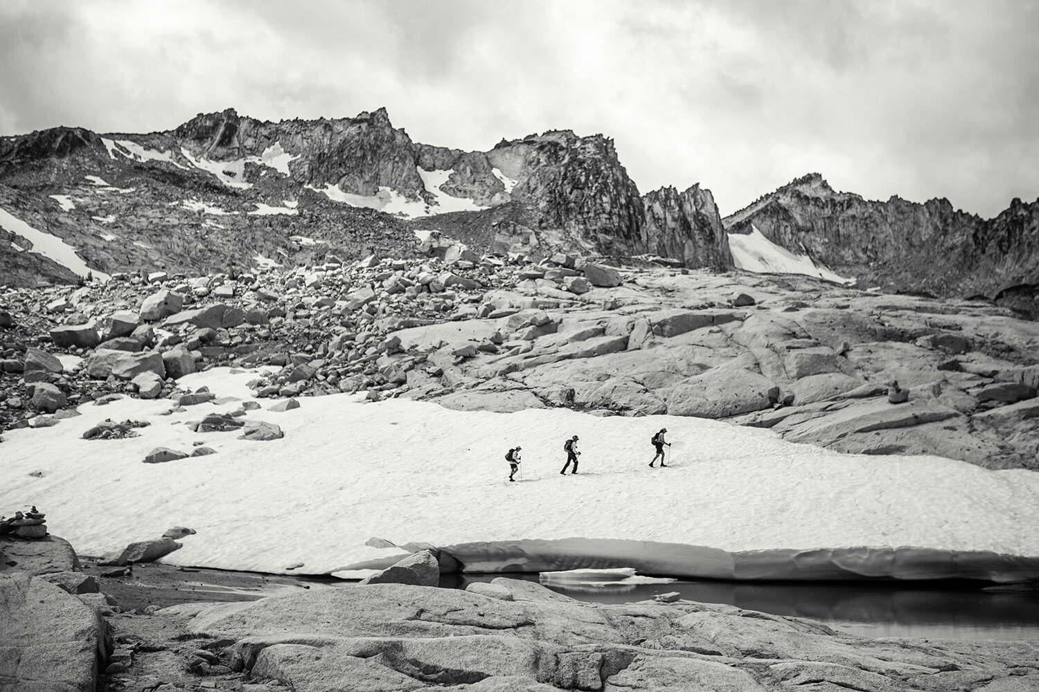
After a 5am start for a quick breakfast we were off! Overall it is easy hiking until you reach Aasgard Pass which is an extremely steep boulder climb to the top.
Warning - this is a tough climb! But what is at the top is worth every second of the push up!
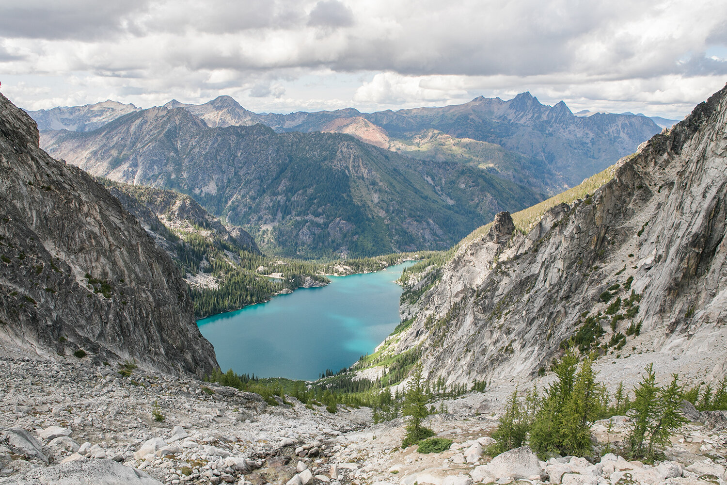
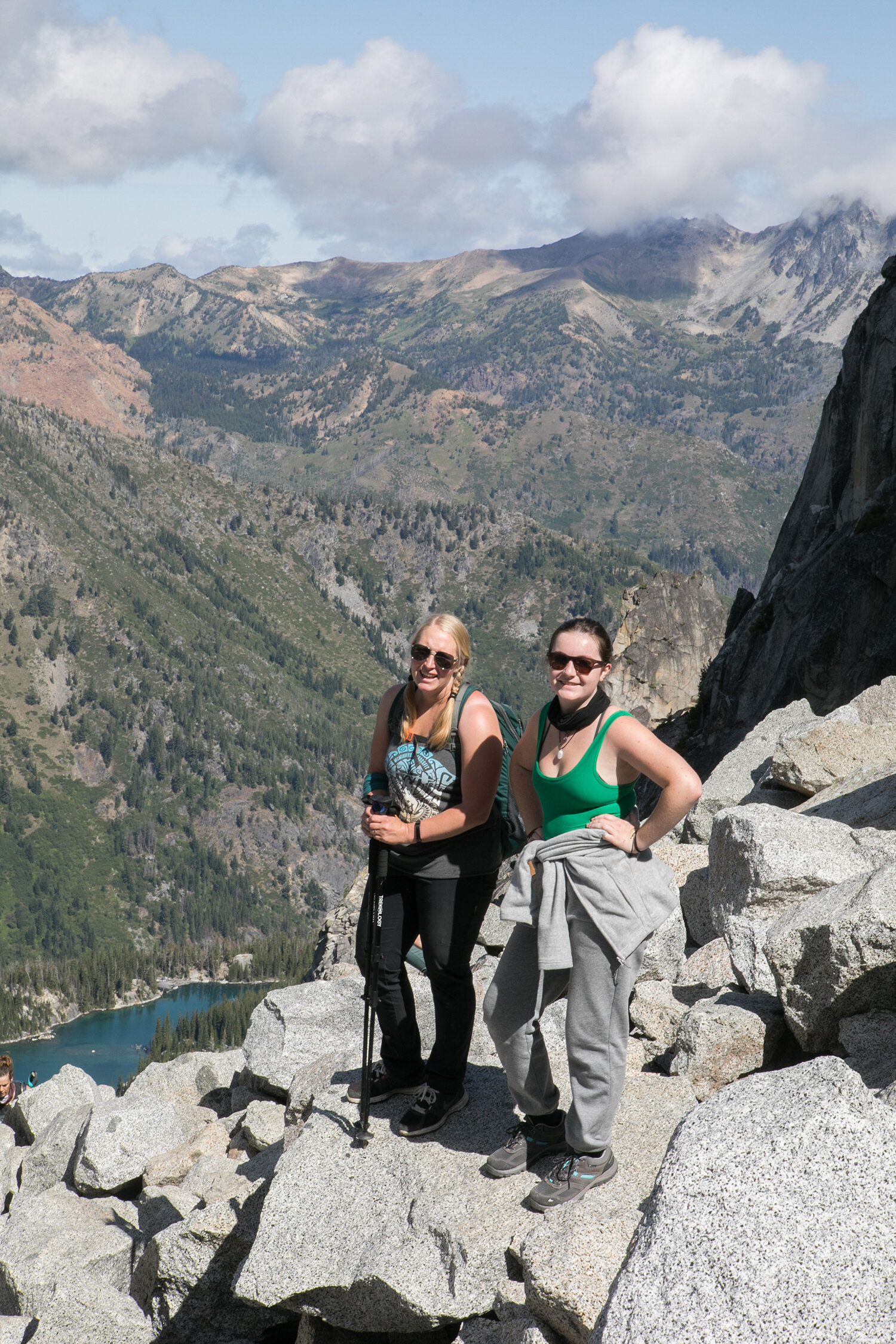
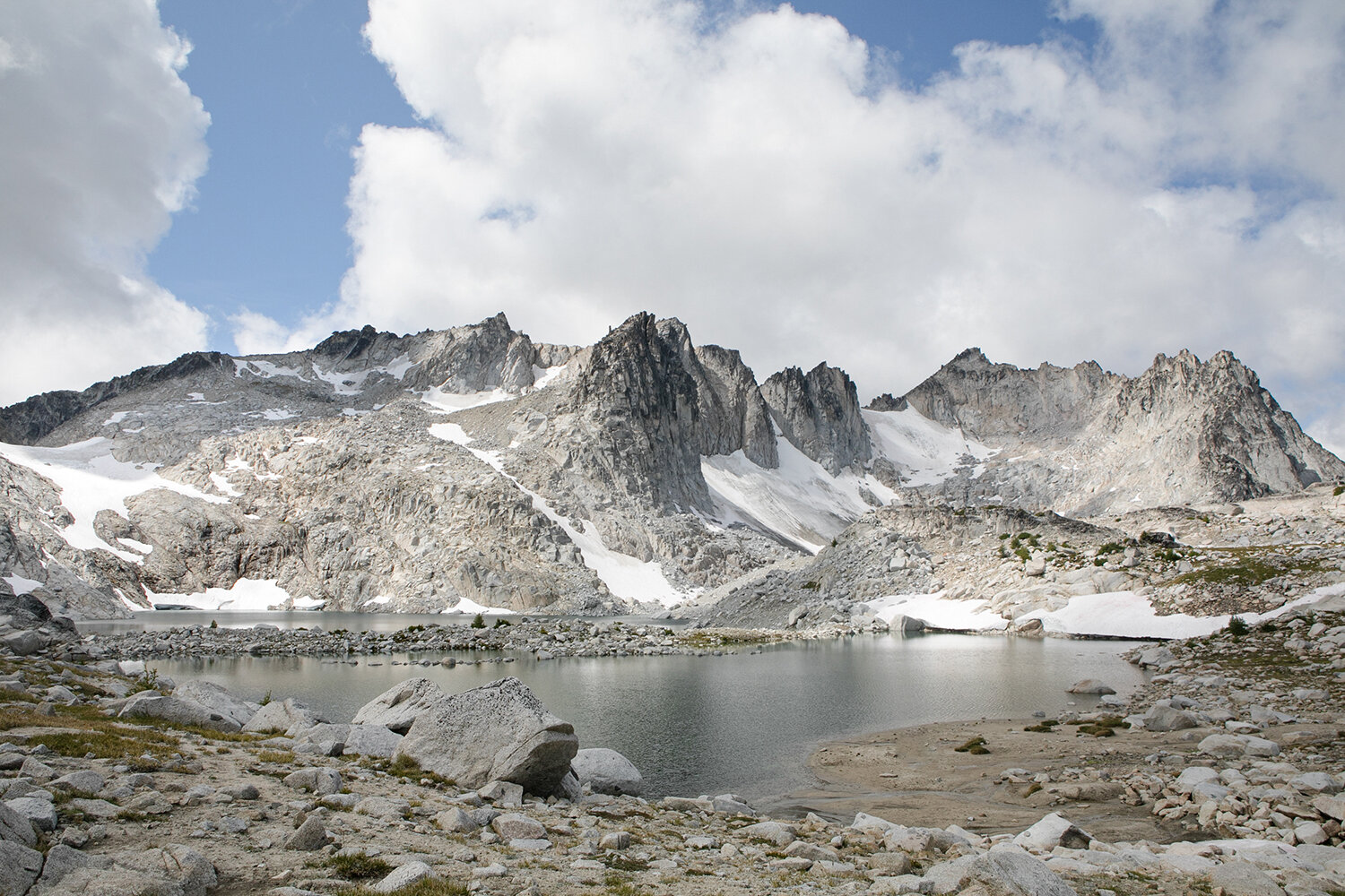
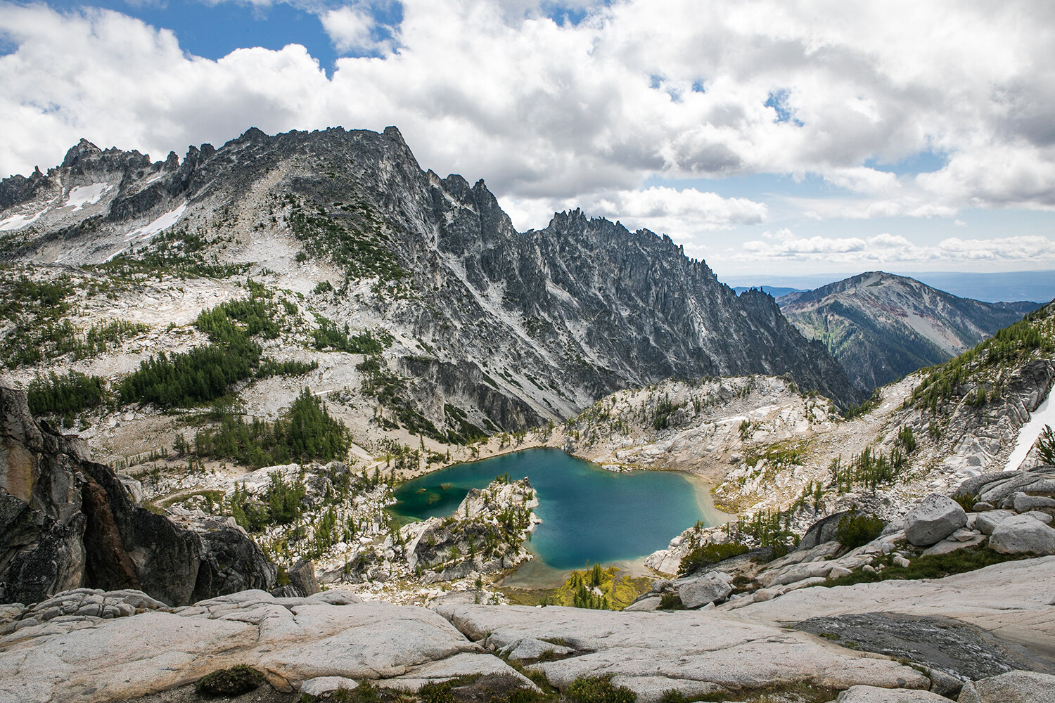
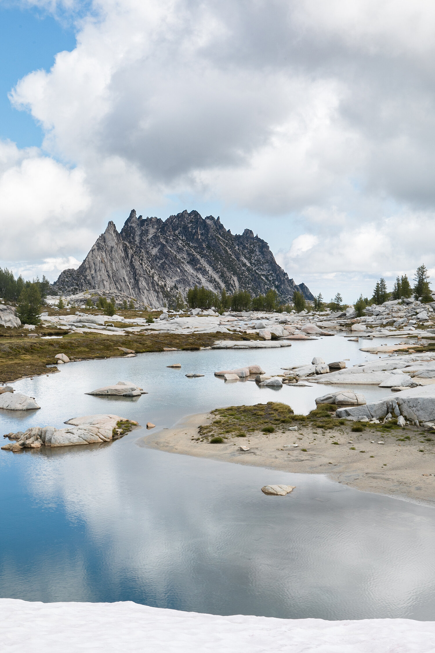
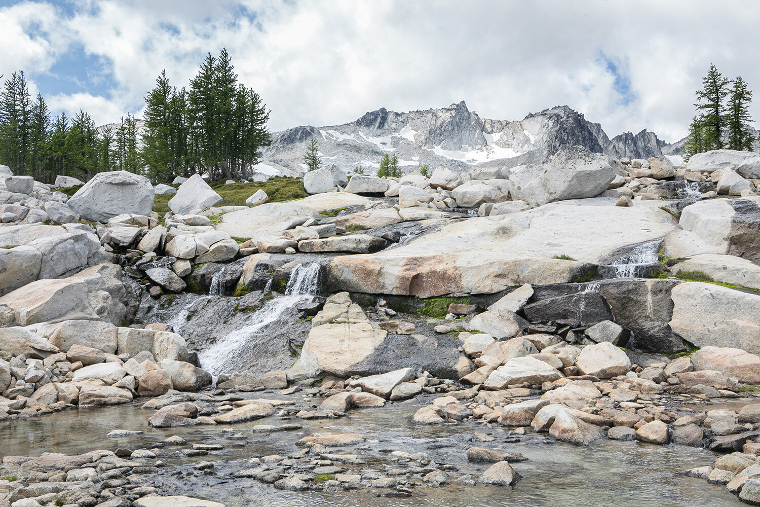
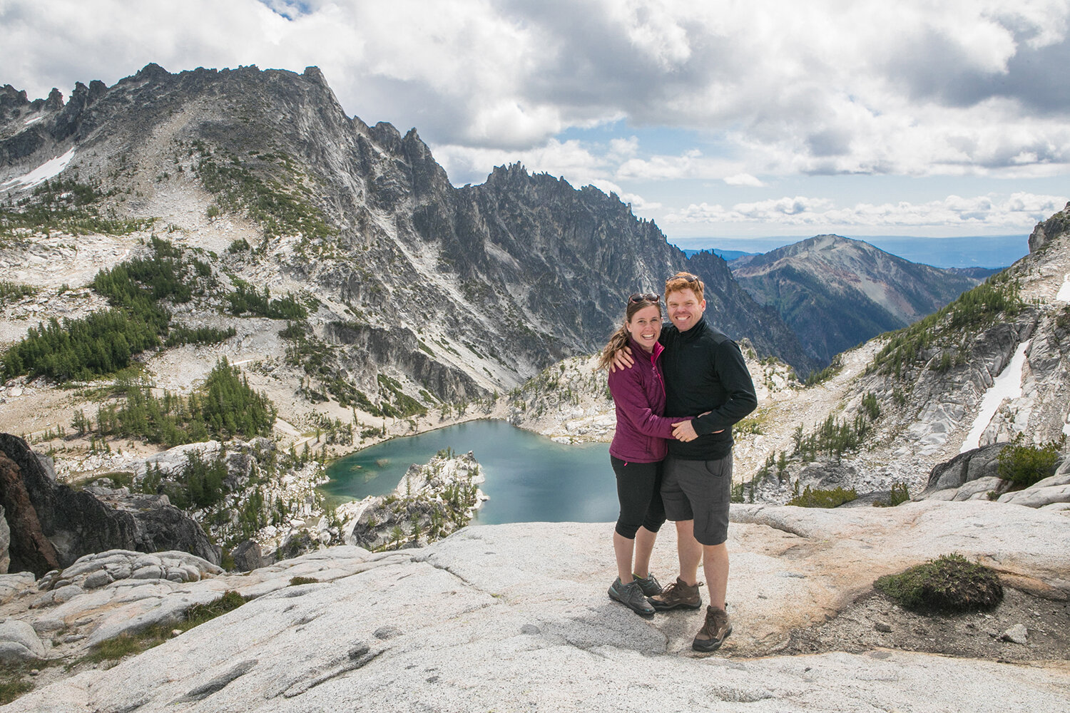
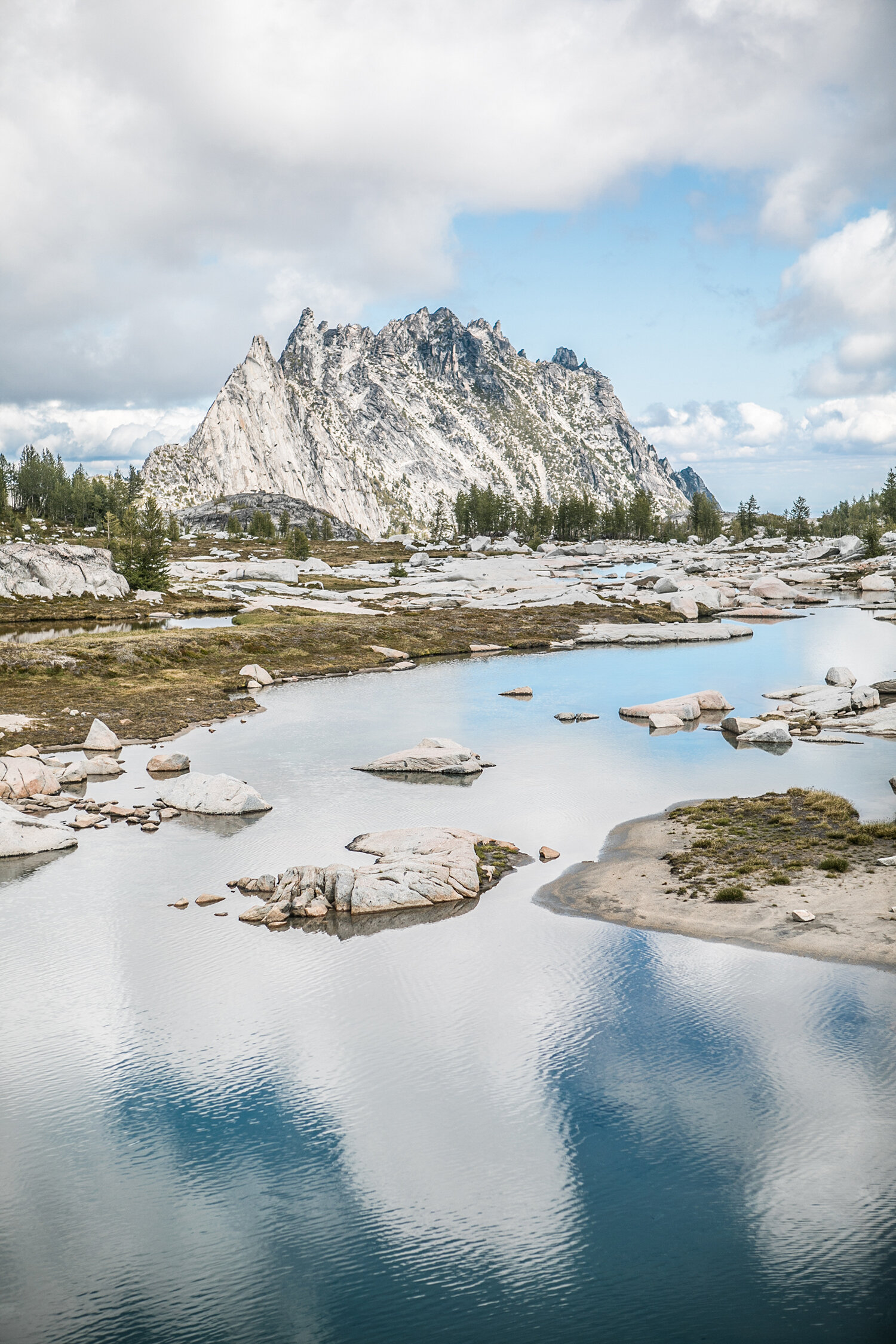
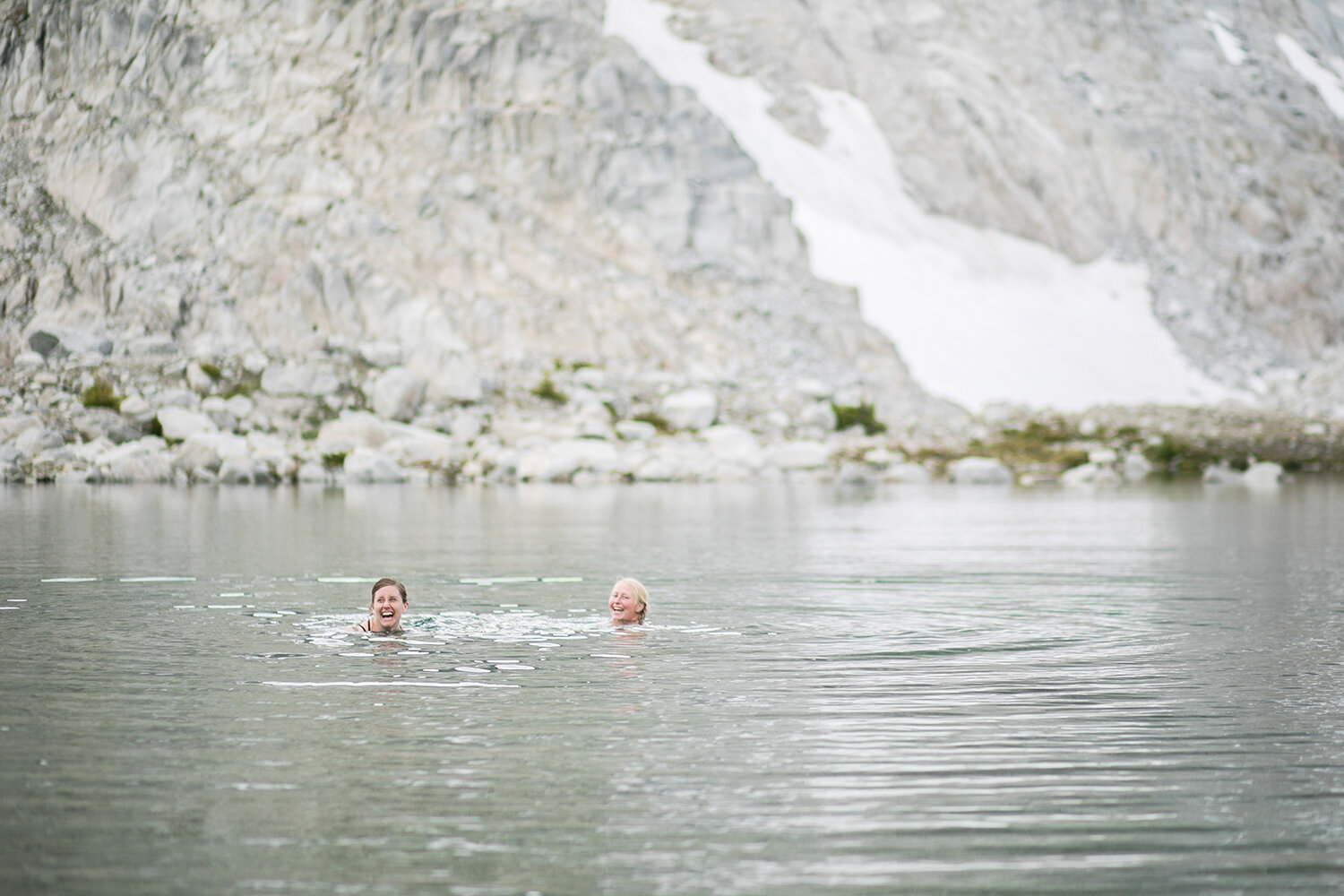
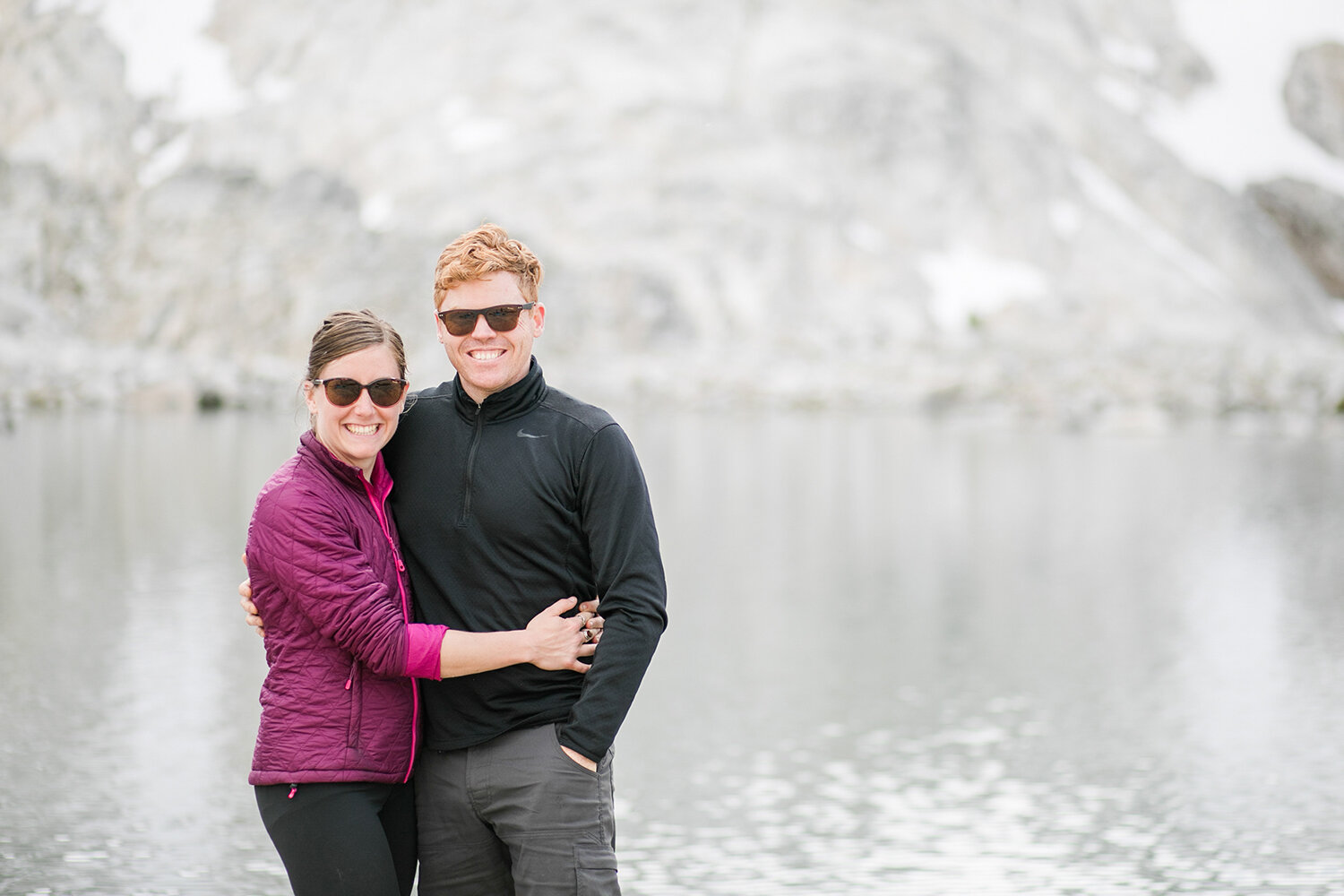
Once you get to the top you are met with gorgeous views of the lakes and crags. If we had the right permits we would have stayed and explored even more than we did because it is EPIC.
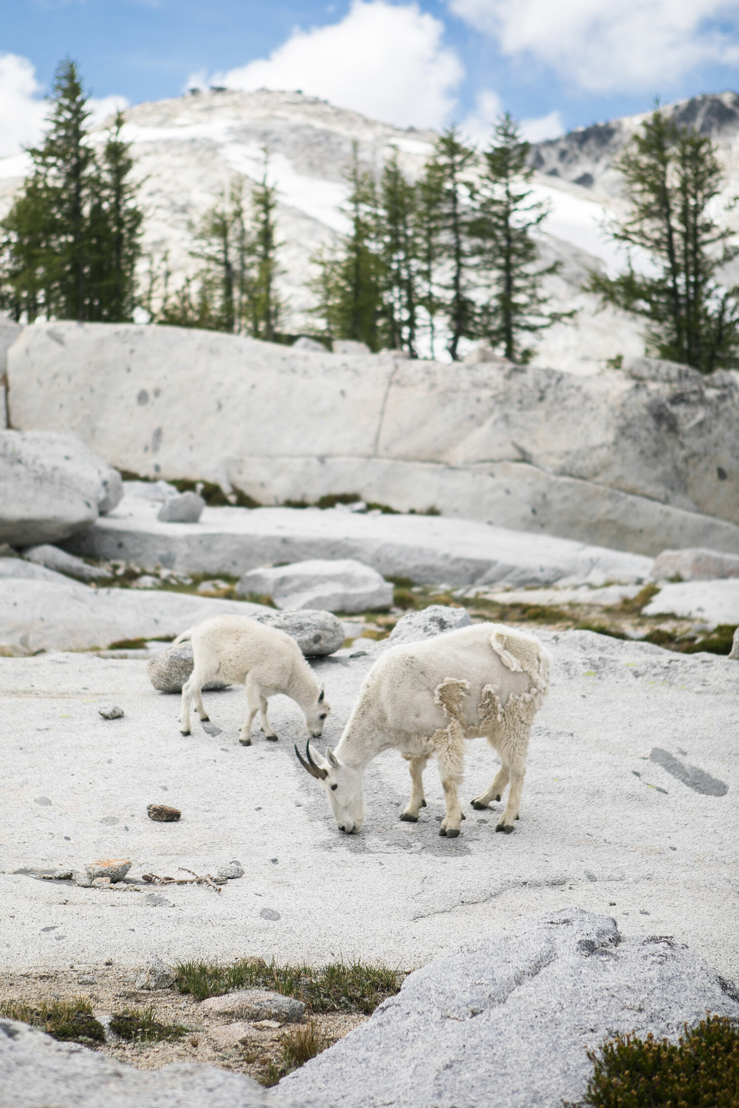
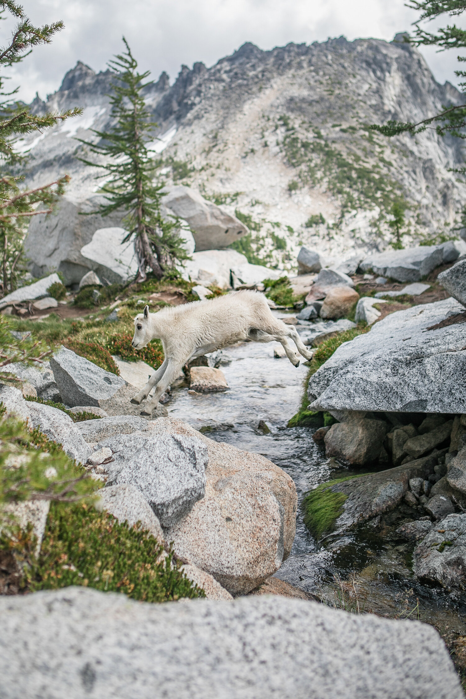
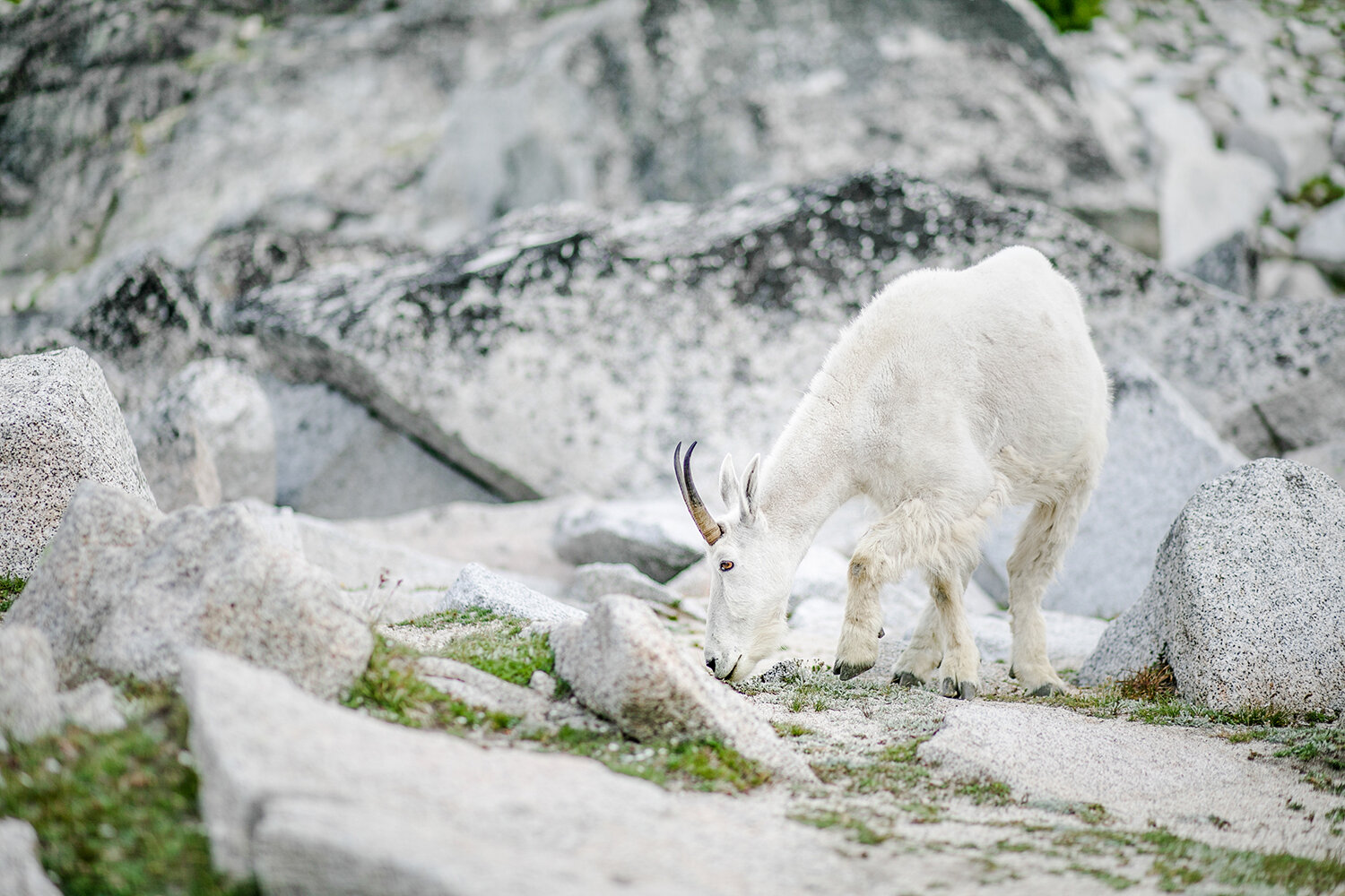
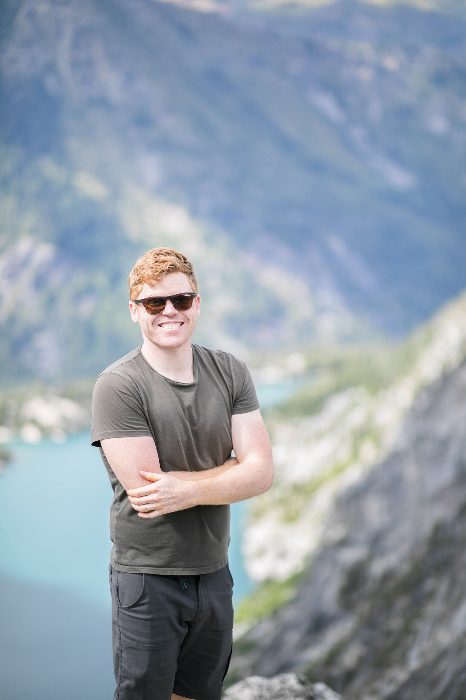
Being wedding photographers we loved capturing the different views and spent quite some time venturing around the different lakes to see what wonders The Enchantments had to offer. One thing you may be excited to know is that it is not completely barren but has much life and you may be lucky to cross paths with some Mountain Goats and the odd Gopher!
Sadly, our time had come to an end at the top and we had to make our way back down. We completely underestimated the hike out and it was a tough few miles (over 7 miles to be more accurate!) mentally and physically!
Planning this trip is completely key and knowing what to expect as well as the best places to camp will increase your enjoyment of the experience significantly. When we do this again we will be entering via the Snow Lake trailhead and camping in the Core Enchantment Zone. I highly recommend that plan for you too if you want to enjoy The Enchantment Basin and all its beauty!